Petawawa is known primarily as a military town, home to Canadian Forces Base Petawawa and the communities that have grown up around it. But the area's history goes back much further than 1905, when the military first arrived, and the landscape around the town holds more points of interest than most visitors realize.
The Petawawa area sits at the confluence of the Petawawa River and the Ottawa River, a location that has made it significant for centuries. Indigenous peoples used the Petawawa River as a travel route into the interior long before European contact. The lumber industry arrived in the mid-nineteenth century, and the military followed. Each era left its mark on the landscape, and much of that history is still visible if you know where to look.
Before the Military
The area around Petawawa was settled by European farmers and loggers in the mid-1800s. The Petawawa River, one of the major tributaries of the Ottawa, was a crucial route for moving timber from the interior to the mills downstream. Log drives on the Petawawa continued into the twentieth century, and the infrastructure built to support them, dams, slides, and boom structures, can still be found along the river.
Several small communities existed in the area before the military base was established. When the Department of Militia and Defence acquired the land in 1905, some of these settlements were displaced. The families who had farmed the sandy soil of the Petawawa plains were relocated, and their homesteads became part of the military training area. Traces of these pre-military settlements can sometimes be spotted on the edges of the base, though access to the training area itself is restricted.
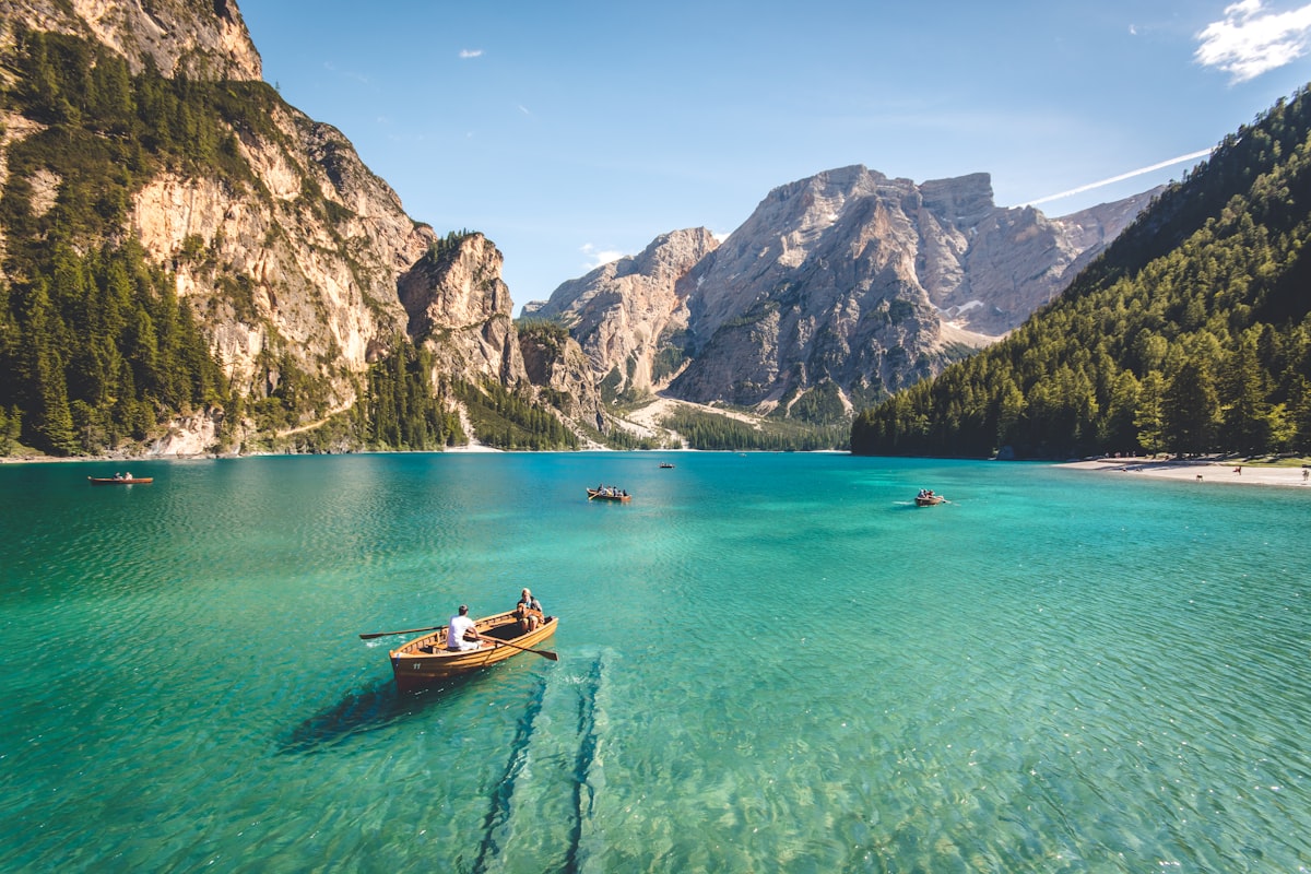 The Petawawa River has been a transportation route and a source of livelihood for centuries.
Military Layers
The military history of Petawawa spans more than a century and has left extensive marks on the landscape. The base has been used for training in both World Wars, the Korean War, and numerous peacekeeping and combat deployments since. Each era of military use produced its own infrastructure, much of which has been superseded and abandoned as training methods and equipment evolved.
The base also served as an internment camp during both World Wars. During the First World War, enemy aliens, primarily Ukrainian and German immigrants, were held at Petawawa under harsh conditions. During the Second World War, the camp held German prisoners of war, as well as Japanese-Canadian civilians who were forcibly relocated from British Columbia. This is one of the more sobering chapters of the area's hidden history.
Natural Landscape
The Petawawa area sits on the edge of the Canadian Shield, and the transition between the Shield's granite and the Ottawa River's sandy lowlands creates an unusually diverse landscape within a small area. The Petawawa River itself is one of Ontario's most scenic waterways, with rapids, waterfalls, and stretches of calm water as it descends from Algonquin Park to the Ottawa River.
Algonquin Provincial Park's eastern boundary is only a short drive from town, and the park's southern reaches are accessible via the Petawawa River and several hiking trails. But some of the most interesting natural features in the area are outside the park: small waterfalls on tributaries, rock outcrops with views over the valley, and quiet sections of river that see few visitors.
The Petawawa Research Forest, managed by the Canadian Forest Service, is another unique feature of the area. Established in 1918, it is one of the oldest research forests in Canada and contains a mix of natural and experimental forest stands. While primarily a research facility, parts of it are accessible to the public and offer an interesting look at how different forest management approaches have played out over a century.
Exploring the Area
The best exploration in the Petawawa area combines history and landscape. The old bridges that cross the Petawawa River and its tributaries offer both historical interest and scenic views. The back roads south and west of town pass through terrain that was once intensively logged, and mill ruins can be found along several of the local waterways.
For those interested in military history, the Petawawa Heritage Village and the base's military museum provide context for the landscape around the town. Several monuments and memorial sites in and around the base mark significant events in its history.
The town itself has grown considerably in recent decades, and local information about Petawawa is worth reviewing before a visit, particularly for seasonal events and community happenings. But the surrounding area retains much of its rural character. County roads leading south toward the Madawaska Highlands and west toward Algonquin Park pass through a landscape that has changed surprisingly little since the lumber era ended. It is an area that rewards slow, exploratory driving with unexpected discoveries.